Ambitious recovery programme launched as unprecedented decline in pearl mussel highlights fragile River Dee
 DeeWatch December
The changes to the River Dee caused by the Storm Frank floods have been recorded using aerial, canoe and riverbank surveys. This information will be used to provide an up-to-date assessment of future flood risk and where the river is likely to change in future. This understanding will be vital to informing effective, sustainable and environmentally-sensitive management of flood risk, morphology, sediment and habitat.
In April, the River Dee and its floodplain from White Bridge west of the Linn of Dee to the harbour in Aberdeen, were surveyed by a specialist aerial survey company to collect detailed topographical and photographic data.
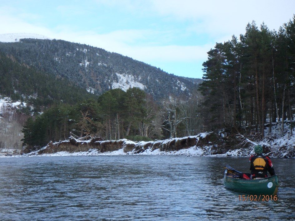
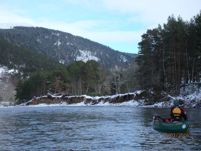
The aerial survey was complemented by fieldwork carried out by the James Hutton Institute. In January and February, canoe-based surveys (supported by Adventure Aberdeen) between Crathie and Aberdeen were undertaken to gain a ‘river level’ perspective of changes created by the floods. During the canoe survey, video and geo-referenced photographs were taken. In addition, targeted bankside walkovers were carried out to locate high flow trash markers and gain another perspective of river changes.
The large amount of information gathered is being analysed and outputs from the work will be available on our website over the coming months.
The surveys were undertaken as part of a collaboratively-funded project to assess rivers in the north-east of Scotland that were affected by the floods of late December 2015 and early January 2016. Aberdeenshire Council, Aberdeen City Council, SEPA, the James Hutton Institute (funded by the Macaulay Development Trust) and Cairngorms Nature contributed towards planning and funding the work.
Aerial photographs have been taken of the whole of the River Dee main stem: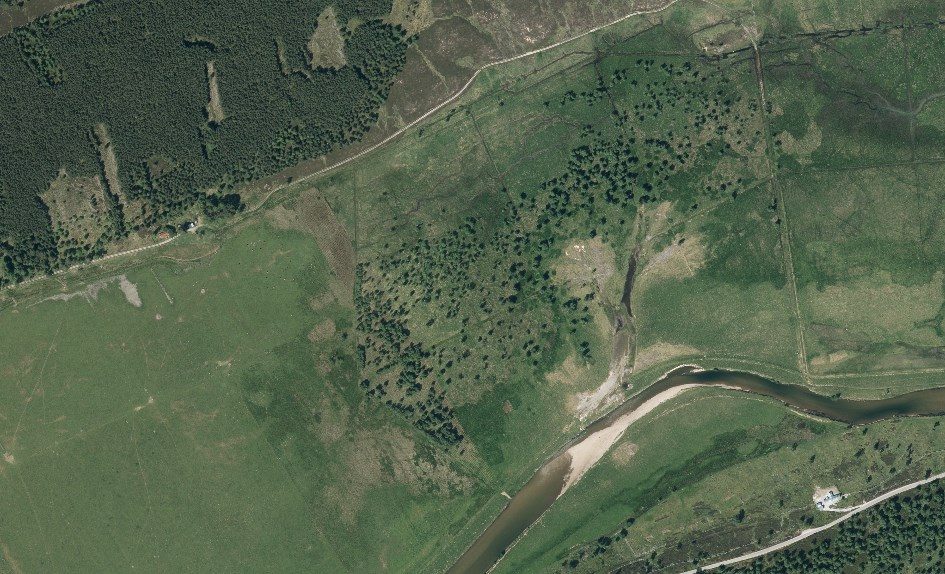
A laser light is used to measure the height of the ground surface, resulting in detailed topography maps: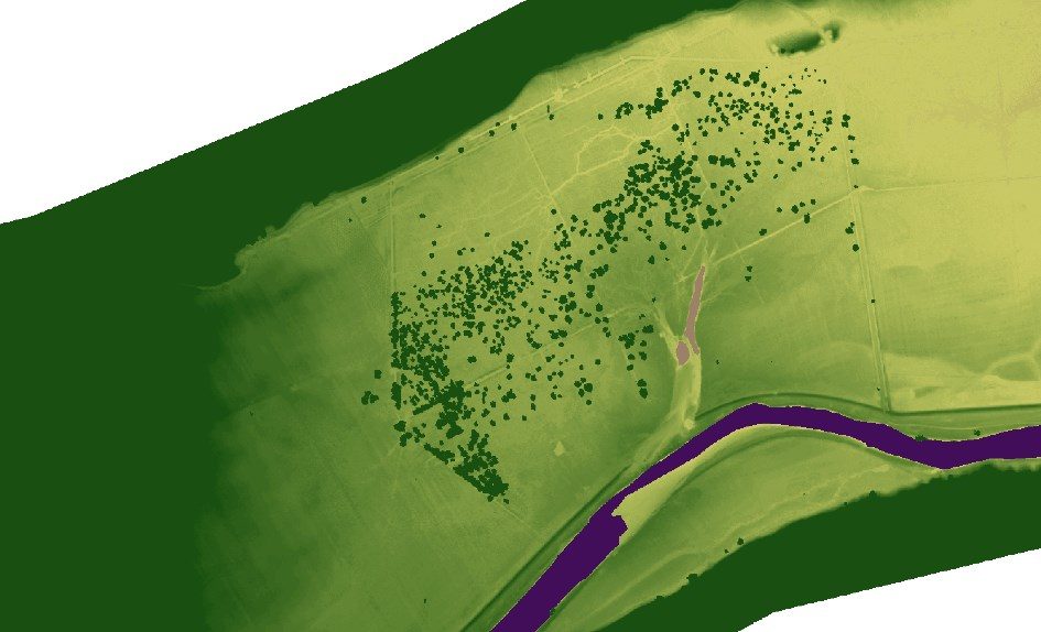
Canoe surveys were used to make a photographic record of the changes to the river caused by the floods: