

 Ambitious recovery programme launched as unprecedented decline in pearl mussel highlights fragile River Dee
 DeeWatch December
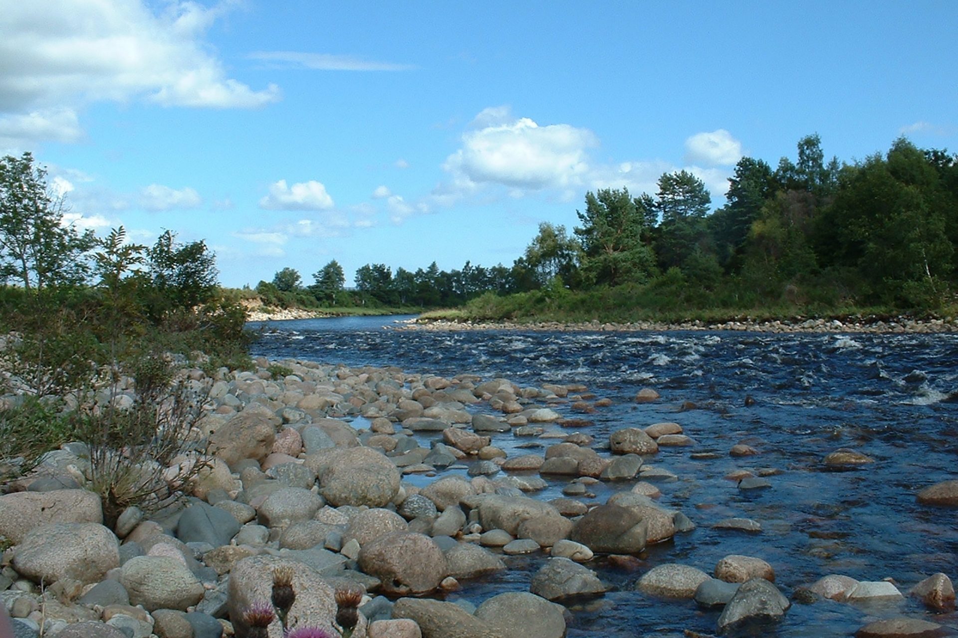
River
The Dee rises at an altitude of 1,220m on the extensive semi-arctic Braeriach-Cairn Toul plateau in the Cairngorms National Park. It is the best example of a large, natural highland river in Scotland, with its headwaters among the highest of any major river system in the British Isles. The Dee begins in a series of springs known as the Wells of Dee, at the foot of a bank of grass and moss, then cascades off the plateau in the Falls of Dee. Its earlier source, further west in the Glens of Tilt and Feshie, were dammed by moraines and diverted to the Rivers Tay and Spey, respectively.
For the majority of its course the Dee flows eastwards through a valley that broadens and becomes much gentler in relief nearer the coast. The foothills of the Cairngorms extend to the sea, particularly to the south of the valley. The river is notable for its great altitudinal range, and unique succession of plant communities. Steep in profile compared with most other large British rivers, much of the river runs over gravel or cobbles, and there is virtually no lowland ‘depositing’ section. These features make the River Dee, its tributaries and its lochs, of considerable interests to scientists.
Tributary burns and lochs
The main tributaries of the river are the Lui, Clunie, Gairn, Muick, Tanar, and Feugh. All except the Water of Feugh enter the river relatively high in the catchment. Standing waters in the catchment are few in number, but several are large. Loch Muick and Loch Callater fill deeply glaciated mountain troughs and are dammed by moraines, while the eutrophied Loch Skene is a giant kettle hole lowland loch, in contrast.
The Coast
Track any changes to the coastline of the NE on the Dynamic Coast website.
How healthy is the Dee?
SEPA monitors a wide range of river conditions annually such as water chemistry, flows and ecological factors, which are analysed and reported. For 2018 the overall condition of the 57 water bodies that make up the Dee system were:
Bad: 7
Poor: 6
Moderate: 7
Good: 34
High: 3
The Water Environment Hub
Use SEPA’s interactive map (https://www.sepa.org.uk/data-visualisation/water-classification-hub/) to view the overall water condition, water quality, physical condition, access for fish migration, water flows and levels and freedom from invasive plants.