

 Ambitious recovery programme launched as unprecedented decline in pearl mussel highlights fragile River Dee
 DeeWatch December
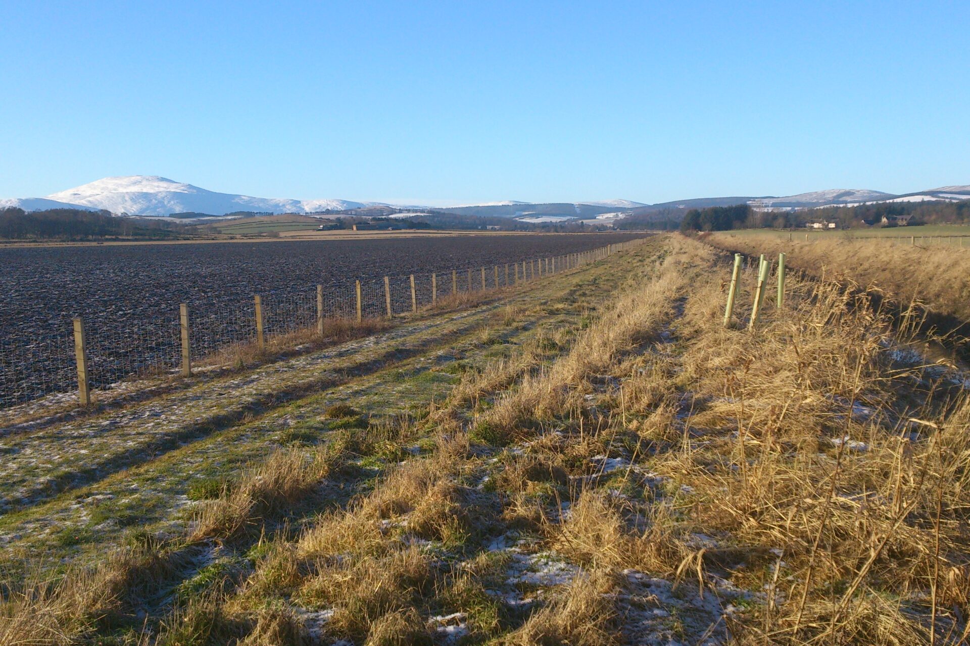
The Dee catchment is relatively unusual in the UK in that it has predominantly upland, semi-natural land use, and consists of two geographically distinct regions with contrasting land-uses.
Western catchment
Semi-natural land cover dominates in the western and southern areas of the catchment. It is mostly moorland, comprising blanket bog and heather moorland on the upper and middle slopes, with montane and alpine heath vegetation found on the highest summits.
The lower slopes have been used to establish managed coniferous and deciduous forests in many areas, which largely cover the river valleys. A high proportion of the few remaining areas of semi-natural ‘Caledonian’ pine woods in Scotland are within the catchment. The forest of Ballochbuie near Invercauld is a prime, large area of original forest, having never been felled, unlike the Rothiemurchus and Glen More forests in Speyside. Some of these are being managed to promote their regeneration and expansion, on estates such as Glen Tanar (Aboyne) and Mar Lodge (Braemar). The soils, climate and topography are not suitable for intensive agriculture in the upper catchment, where extensive sheep farming and forestry predominate.
Eastern catchment
In the eastern lowland part of the catchment, land cover is a mosaic of more intensively-managed land cover types, dominated by arable farmland and improved pasture.
Agriculture
The north east of Scotland has a rich history of agriulture. Excavations of rare wooden longhouses found on the banks of the Dee show Neolithic communal agriculture, at least as advanced as in mainland Europe at that time. The best agricultural land in the catchment is in the low-lying areas between Aberdeen and Banchory, where cereals, sheep and beef are typically produced on mixed farms.