

 Ambitious recovery programme launched as unprecedented decline in pearl mussel highlights fragile River Dee
 DeeWatch December
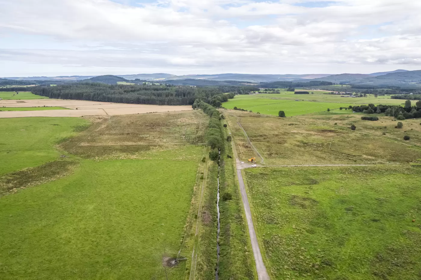
Floods
Heavy rains and melting snows can turn the river’s serene flow into a raging torrent. Major floods occurred in 1769, 1920 and the Cairngorm Flood of 1956. Reportedly, the flood of 1920 drove the river into its old course at Inch of Culter, swept away crops and inundated the Maryculter bridge. Most notable of all, was the Muckle Spate of August 1829 and Storm Frank in late 2015.
River crossings
There are currently 24 bridges over the River Dee, whereas before 1800 there were only four: the Bridge of Dee (1520-27), Old Bridge of Invercauld (1752), Bridge of Ballater (1783), and Bridge of Banchory (1799). As a result some 27 ferry and 36 ford crossings have been recorded along the length of the river. Many of these crossings were linked to the important Mounth roads which crossed the area. One of the ferry points was at the ‘Coble-heugh Inn’, where the Banchory Lodge Hotel now stands. James Humble, a ferryman in the early 19th century, related some wondrous tales of the strange beasts known as water kelpies that haunted the river. One of these creatures was said to have given warning prior to the death, by drowning, of one of the ‘floaters’ who navigated the river.
Timber transport
‘Floaters’ was the name given to those men who plied their hazardous trade by steering rafts of timber down the Dee from its upper reaches when the water was high. Their old river songs could be heard far and wide across the fields and through the trees. When the water was high, a floater could earn 21 shillings a raft for transporting timber down the Dee from the upper reaches to Aberdeen. The Silverbank Sawmill (Banchory) was opened in 1854 – timber was delivered here and loaded onto the newly arrived railway after treatment at the mill. As the railway progressed up the valley, it eventually replaced the need for river transportation of timber. The railway ceased, along with so many others, in 1966 but the key stations in Aboyne and Ballater have survived and are now used as shops and cafés.
Mounth roads
The historical Mounth roads represent around 15 major passes which linked traders and drovers in Deeside with the coastal lowlands to the south. Various passes (from E to W) such as Slug road, Cairn a’Mounth, Firmounth, Capel Mounth, Tolmounth and Cairnwell shaped the civilisations in the area and the first two and last remain important roads today. In 1296 Edward I of England marched with forces over the Cryne’s Cross Mounth, then crossed the Dee at Durris on he way to Aberdeen.
Royalty
Over 150 years ago Queen Victoria chose Deeside as her holiday centre and successive generations of the Royal Family have followed her example. So too have generations of holidaymakers, visiting the area renowned for the majestic scenery, and the many and varied sporting activities associated with the river and surrounding mountains.
Further area information
- Past Map Site Finder– A great way to explore Scotland’s historic environment, showing all of the listed and protected sites
- National Library of Scotland – Browse and compare old maps, aerial photographs, soil data etc. with present day
- SCRAN– Provides access to digital media to aid learning, culture and heritage