

 Ambitious recovery programme launched as unprecedented decline in pearl mussel highlights fragile River Dee
 DeeWatch December
Many areas within the River Dee catchment are protected by national or international legislation.
Drinking waters
The River Dee supplies the whole of Aberdeen city (around 200,000 people) and over half of Aberdeenshire with domestic water. It was designated in March 2005 under the Water Framework Directive as a water used for the abstraction of drinking water.
Economically significant species
The waters of the whole catchment are designated as ‘salmonid’ under the terms of the European Freshwater Fisheries Directive which provides statutory protection for the fishery.
Areas designated for the protection of habitats or species
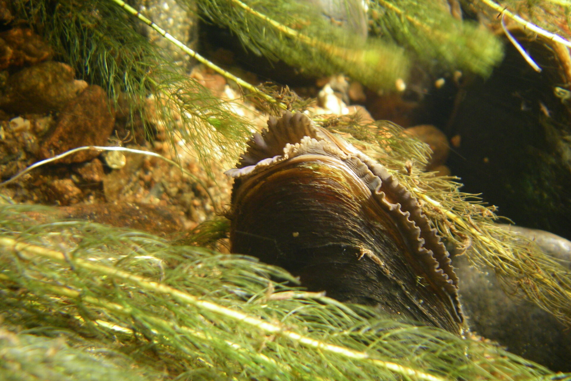
Areas designated for the protection of habitats or species are known as Special Areas of Conservation (SAC), and Special Protected Areas (SPAs). Together these areas are known as Natura 2000 sites). The River Dee and its tributaries are a designated SAC because they support internationally important freshwater pearl mussel, Atlantic salmon and otter populations. The Glen Tanar and Loch of Skene SPAs are in the Dee catchment, while the headwaters of the Dee are part of the Cairngorms SPA.
Ramsar sites are wetlands of international importance designated under the Ramsar Convention. There are three Ramsar Sites in the Dee catchment: the Cairngorm Lochs, the Loch of Skene and the Muir of Dinnet. Most of the upper main river and tributaries are Sites of Special Scientific Interest (SSSI).
Nitrate Vulnerable Zones
From Aberdeen City limits as far as Banchory, the catchment is designated as a Nitrate Vulnerable Zone . This area includes the tributaries of the Bo Burn, the Burn of Sheeoch, the Cairnie Burn, the Leuchar burn and the Gormack burn.
Cairngorms National Park
The whole of the upper catchment west of Aboyne falls within the Cairngorms National Park, established in 2003 in recognition of the area’s important wildlife and countryside. The geology, altitude and climate of the Cairngorms combine to produce plant and animal communities that are rare in a worldwide context. Significant changes in this area would have consequences for nature conservation, the land economy and the recreational value of the Cairngorms.
The largest National Park in Britain and one of the largest in Europe, the Park includes the biggest area of arctic mountain landscape in the UK, with diverse communities throughout. It is home to 16,000 people and 25% of Britain’s threatened birds, animals, and plants.
The National Park Partnership Plan 2017-2022 is a management plan for the Cairngorms National Park. It brings together all organisations and sectors involved in the management of the Park, and identifies the priorities for investment and action until 2022.