

 Ambitious recovery programme launched as unprecedented decline in pearl mussel highlights fragile River Dee
 DeeWatch December
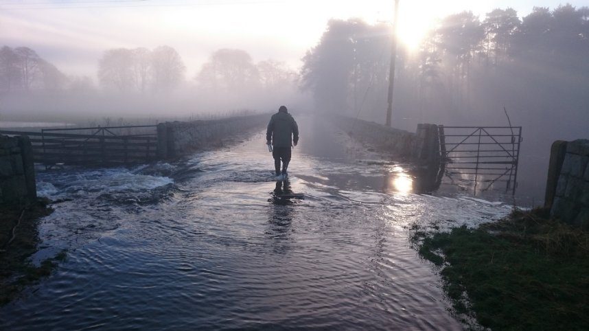
Flooding
As the climate gets warmer and wetter, flooding poses a growing threat to householders, businesses and the environment. Deeside is still recovering from the impacts of the flooding caused by Storm Frank in December 2015. It’s vital that we act now so we are more resilient to flooding events in the future.
Our Partnership is looking at ways to reduce flood risk naturally, alongside traditional engineering techniques. Our Victorian sewer system is at capacity and would be expensive to replace, so we need to manage the catchment better to increase its holding capacity of potential floodwaters. By using techniques known as Natural Flood Management in rural areas, and Blue-Green Infrastructure in urban areas, we can help to slow, store and filter potential floodwaters. This will reduce localised flood risk, improve air and water quality, create better habitats for wildlife and result in more green spaces for us all to enjoy.
River levels
Rising and falling water levels are measured and recorded by SEPA and the James Hutton Institute and can be viewed at the links below. This information allows businesses, householders and leisure users to manage and use the river efficiently, and predict the possibility of a flood risk. Further information on the data collection can be found here.
Tarland Burn (Aboyne) (James Hutton Institute)
Tarland Burn (Coull) (James Hutton Institute)
Tarland Burn (Netherton) (James Hutton Institute)
Tarland Burn (Tarland Village) (James Hutton Institue)
SEPA
SEPA is Scotland’s national flood forecasting, flood warning and strategic flood risk management authority. They provide the 24-hour floodline service number (0345) 988 1188 and website which will issue flood warnings and information on how to prepare for flooding.
The Environment Agency offer the Flood Information Service in England and Wales.
Flooding information and education
Northamptonshore Council – flood toolkit
River Dee webcams:
Photos: James Hutton Institute